Route 7 - The tour of the huts
Add to my favorites

Route closed
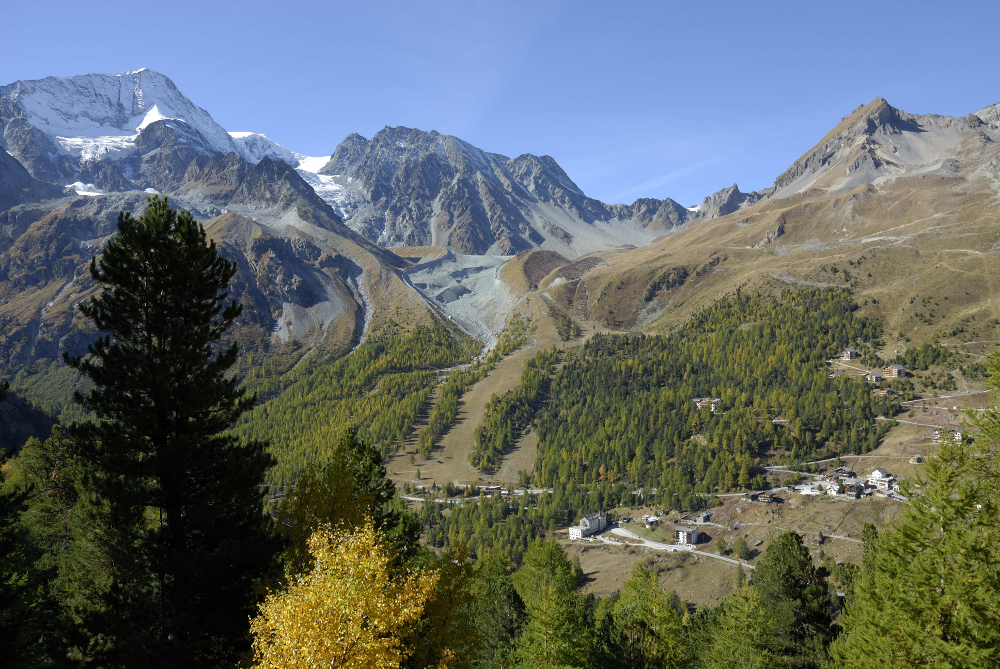
This itinerary must be realized in roaming over 2 days. You will discover alpine paths. The agricultural and forestry framework of Evolène will give way to a high mountain decor, with magnificent panoramas on exceptional summits. You will discover the huts of the Aiguilles Rouges and the Tsa mountain huts, which are part of the region and must-see places to quench their thirst or spend the night.
The characteristics of the route.

Evolène (CH)
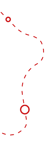
- Distance 39.1 km
- Elevation gain 2730 m
- Elevation lost 2730 m
- Min. elevation 1346 m
- Max. elevation. 2835 m
- Duration (depending on pace) 2 jours
- Marking yes
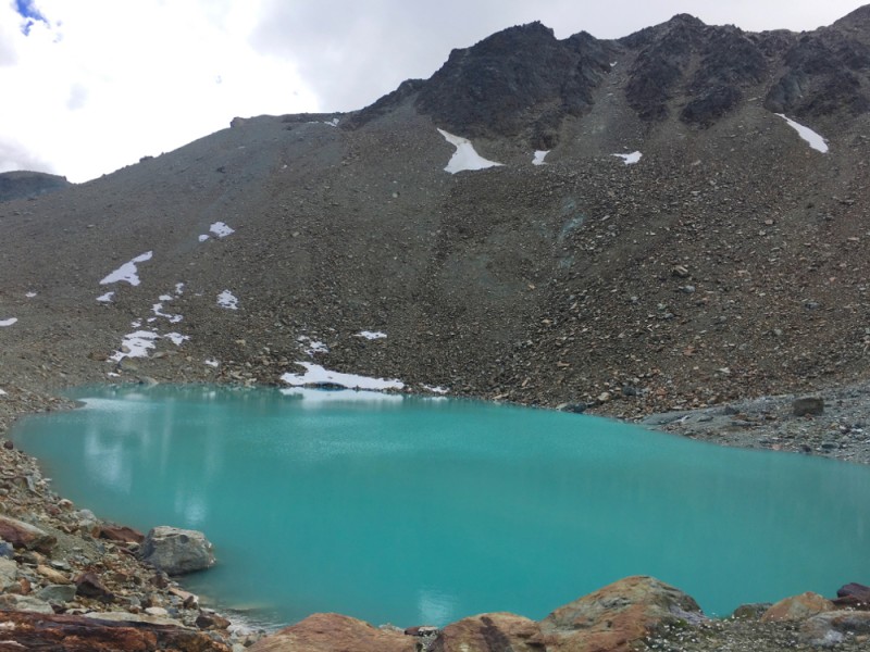
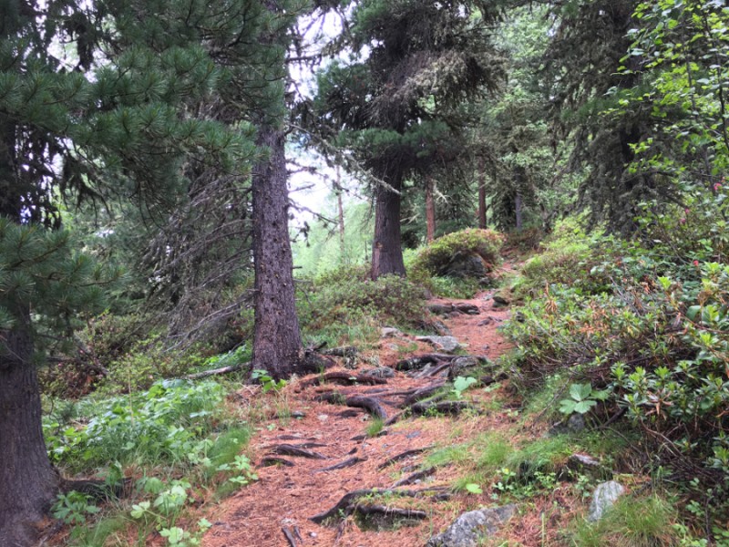
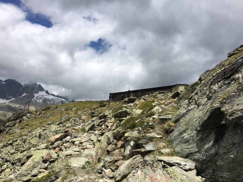
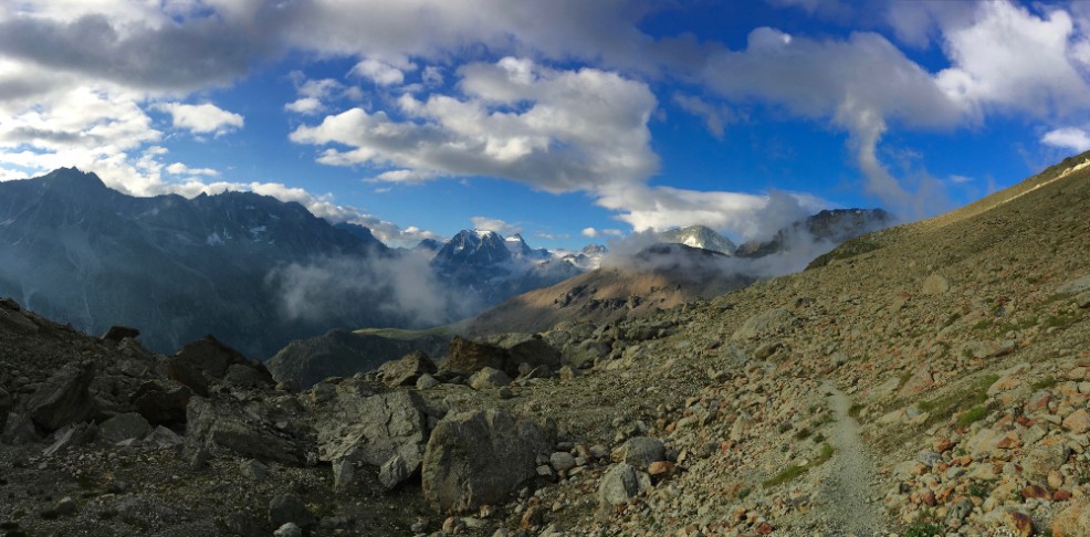
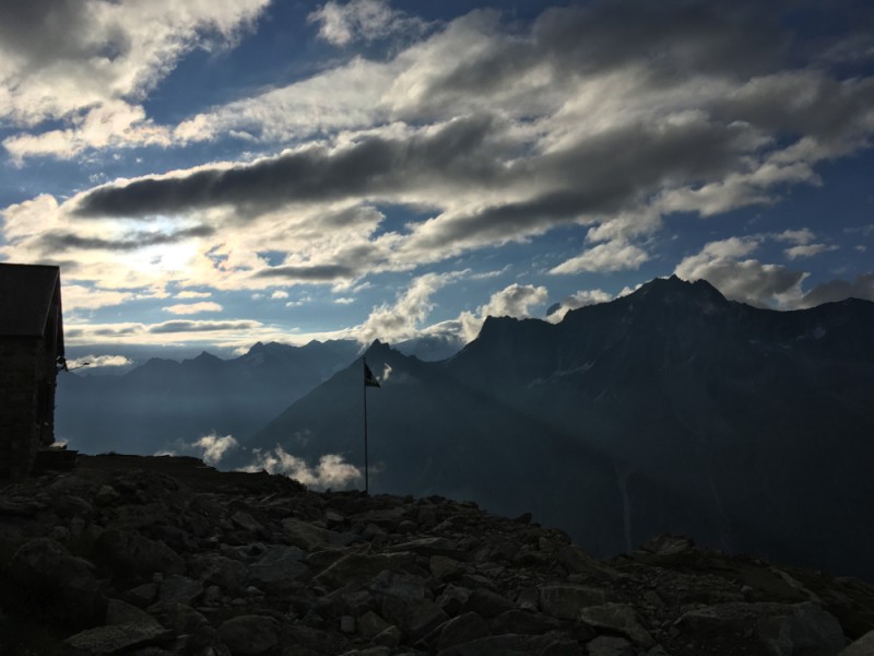
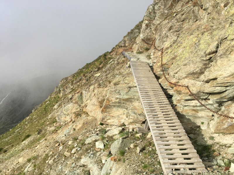
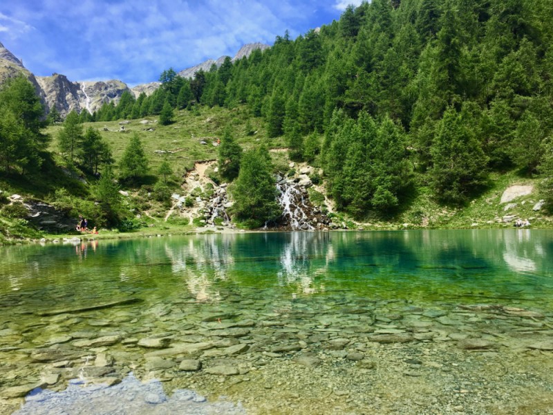
From Evolène, you quickly climb in the middle of alpine pastures. After 1 kilometer, the slope softens to offer beautiful single in the forest, pleasant and fun to run. You will join the Mayens de la Niva, which marks the beginning of the Alpine part of the course. You will then join the Alpage de l'Etoile by a wide track, offering an exceptional panorama on the Dent Blanche. The trail will then leave a path to the Blue Lake where you will enjoy a refreshing break before climbing to the Cabane des Aiguilles Rouges. A ascent of 700 meters of positive vertical gain rewarded by an exceptional panorama. The hut is a perfect place to do a break if you want to complete the course over two days.
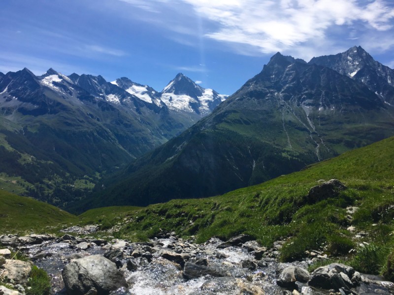
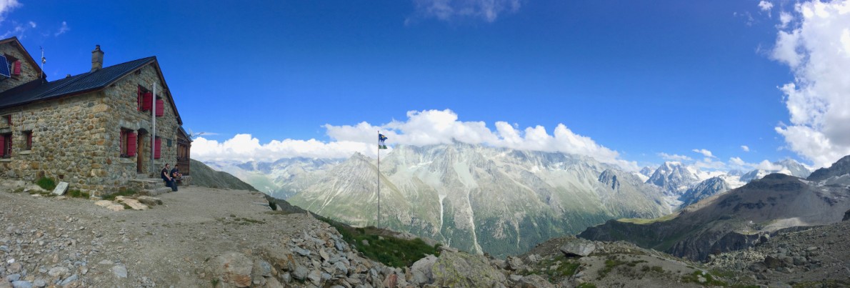
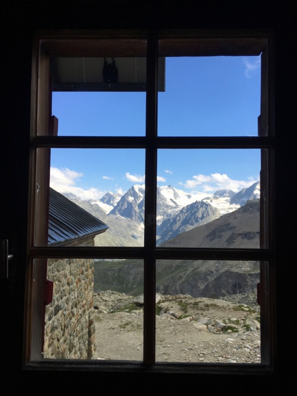
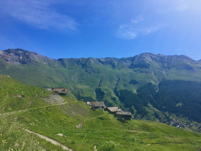
Then, you go down to Arolla via the Pra Gra Remointse. From Arolla you go up to the hut La Tsa, at 2600 meters altitude. Then you go down to reach Les Haudères by the path in the valley. At Les Haudères, take time to drink at the fountain in the center of the village before joining Evolène by a balcony path, along the Borgne river, first in the woods and then in the middle of summer meadows.
Area : Evolène
Report a problem 1 comment

Add your time and share your feelings
Services nearby
Guide Antoine Brenzikofer
Les Haudères
Pierre Burnier - "Multirando"
La Forclaz
Guide Jean-Noël Bovier
Evolène
Evolène/Les Haudères Swiss ski school - Evolène Région
Evolène

Camping d'Evolène
Evolène


Follow us on
the digital trails
the digital trails


![]()
Info & contacts
Saint Martin Tourisme
Rue de l’Église 7
1969 SAINT MARTIN (SUISSE)
+41 (0) 27 281 24 74
trail@valdherens.ch


OK
Annuler