Show the map
OFFICIAL ROUTE
GRAND RAID RÉUNION 2024 - DIAGONALE DES FOUS


 Saint-Pierre (RE)
 Saint-Denis (RE)


PLEASE NOTE: as this route crosses private land, it is only accessible on race day. The Diagonale des Fous, an extreme trail race held on La Réunion, embodies the spirit of adventure, endurance and challenge. Every year, runners from all over the world come together to take on this daring challenge, making it an iconic event.
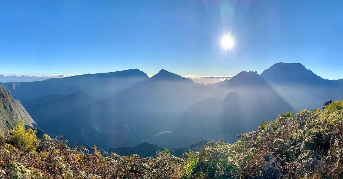
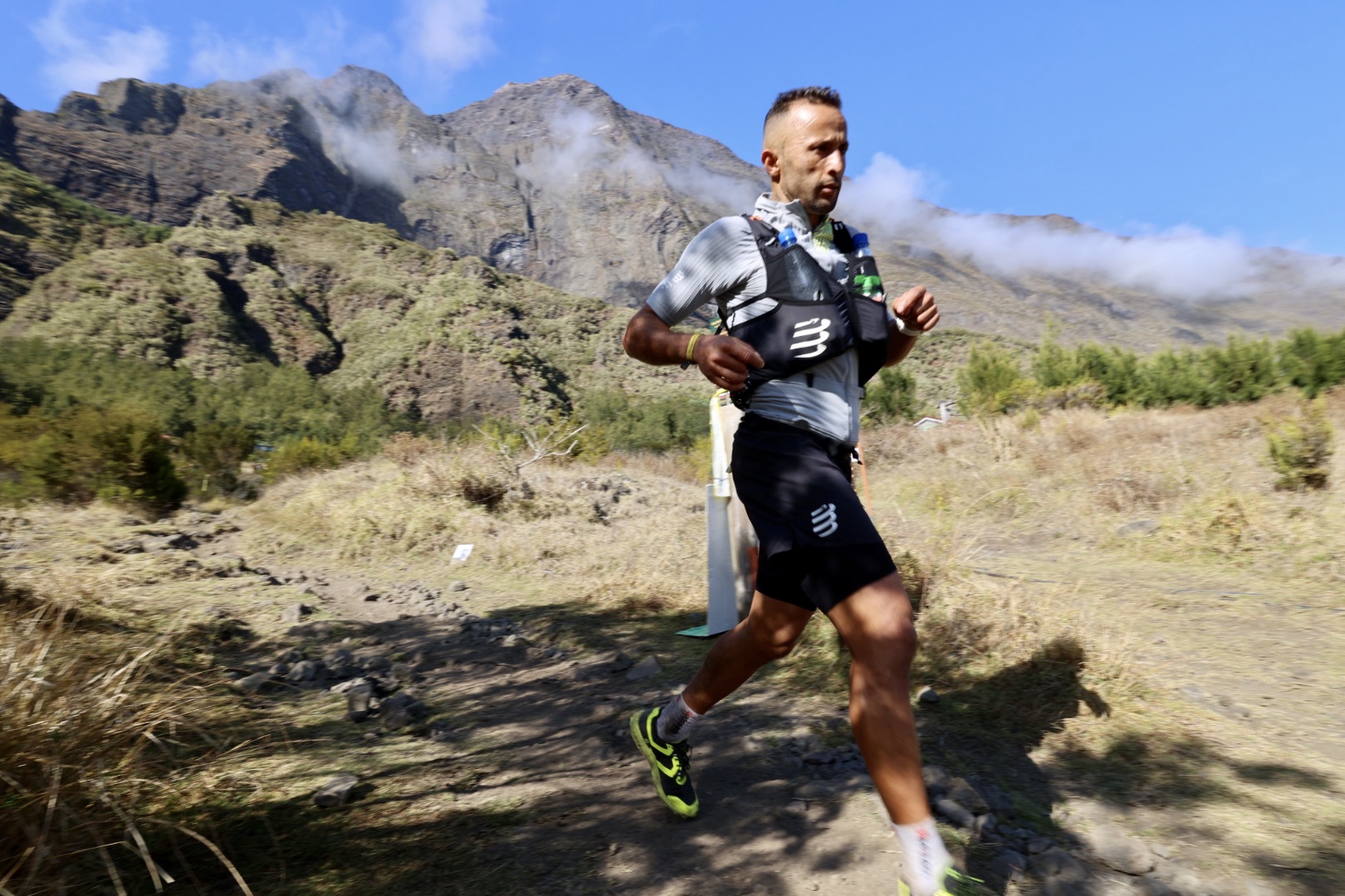
The course of the Diagonale des Fous crosses the mountainous heart of Réunion Island, traversing breathtaking landscapes from lush forests to craggy rocky ridges. With a distance of around 165 kilometres, the race tests the physical and mental resilience of the participants.
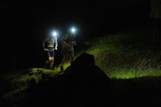
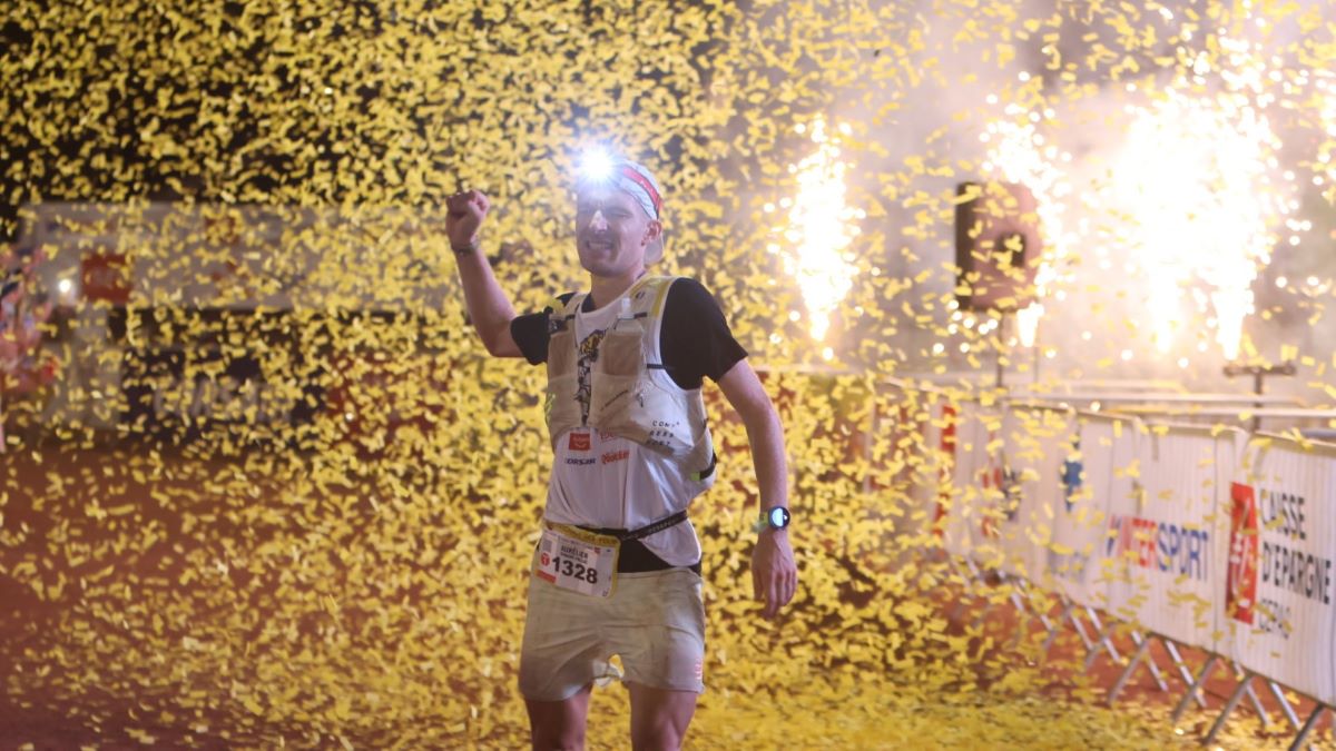
The race starts in the south of France in Saint Pierre, in an electric atmosphere as runners set off in the dark, illuminated by their headlamps, to tackle an impressive climb. The Diagonale des Fous is not only a challenge against distance, but also against changing weather conditions, difficult terrain and variable altitude.
Runners must navigate narrow paths, cross ravines, cross rivers and climb peaks, all the while remaining vigilant to weather variations that can turn the course into an even more formidable challenge.
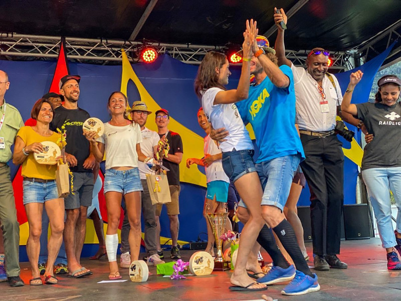
What makes the Diagonale des Fous unique is the community spirit that unites the participants. In this race, solidarity and mutual encouragement are as important as individual performance. Runners support each other through difficult times, sharing a camaraderie forged through common effort and respect for the challenges they face.
The finish in Saint-Denis is often emotionally charged, with each runner crossing the line with a sense of triumph and achievement. The Diagonale des Fous is more than just a sporting competition; it's a personal adventure that tests the limits of the human spirit and leaves an indelible mark on the memory of those brave enough to take it on.
The Diagonale des Fous is not just an ultra trail race, it's an inner journey, an exploration of oneself through the Reunion National Park, a UNESCO World Heritage Site. Pitons, Cirques and vertiginous Remparts symbolise the human capacity to overcome the most difficult obstacles. This route may be subject to change for administrative or practical reasons, or due to the state of the trails.
Points of Interest table
| Accum. | Intermediary | |||||||
|---|---|---|---|---|---|---|---|---|
| POI | Description | Alt. | Dist. | D+ | D- | Dist. | D+ | D- |
 Competition organized on 10/17/2024
Trace n°240371
Ascent threshold : 3 m Distance threshold : 30 m Smoothing : Yes Origin of altitudes : MNT Aster GDEM
Ascent threshold : 3 m Distance threshold : 30 m Smoothing : Yes Origin of altitudes : MNT Aster GDEM
Crossing
Dominant terrain : Footpath
Max alti. : 2491 m
Avg alti. : 1139 m
Min alti. : 0 m
Longest ascent : 2600 m
Longest descent : 2030 m
Dominant terrain : Footpath
Max alti. : 2491 m
Avg alti. : 1139 m
Min alti. : 0 m
Longest ascent : 2600 m
Longest descent : 2030 m
More tools
Create a new roadbook page
Map and track on your website
Warning ! When you insert a Trace de Trail map on your website, you agree not to hide any element of the module (links to Trail Trail or Trail Connect banner)
Add a realisation
Validate
Add a realisation to share your chrono and describe the conditions that you encountered during you trail running !
Add a comment
Validate
Show the infos
Add a track