Show the map
OFFICIAL ROUTE
Trail des Hauts Forts 2020 - Trail des Mines d'Or - 23 km
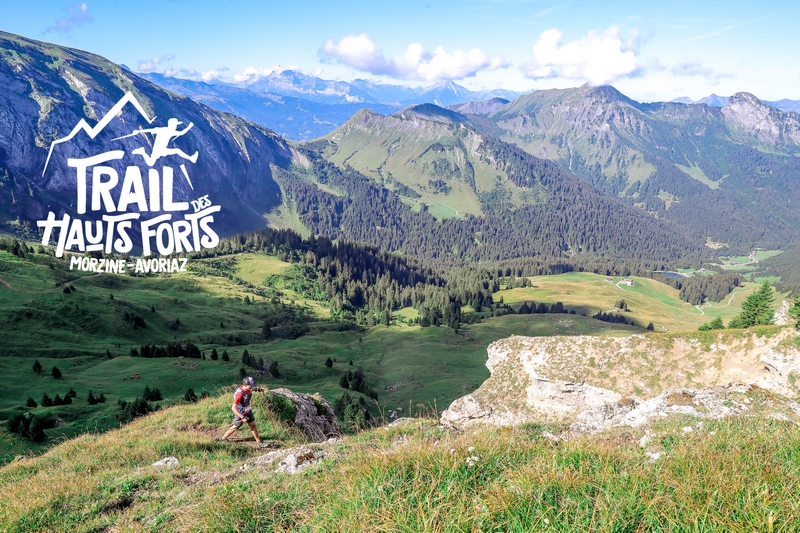


 Morzine (74)
 Avoriaz (74)

Points of Interest table
| Accum. | Intermediary | |||||||
|---|---|---|---|---|---|---|---|---|
| POI | Description | Alt. | Dist. | D+ | D- | Dist. | D+ | D- |
 Competition organized on 08/11/2019
Trace n°56014
Ascent threshold : 0 m Distance threshold : 30 m Smoothing : Yes Origin of altitudes : MNT IGN
Ascent threshold : 0 m Distance threshold : 30 m Smoothing : Yes Origin of altitudes : MNT IGN
Crossing
Dominant terrain : Footpath
Max alti. : 2234 m
Avg alti. : 1515 m
Min alti. : 973 m
Longest ascent : 950 m
Longest descent : 510 m
Dominant terrain : Footpath
Max alti. : 2234 m
Avg alti. : 1515 m
Min alti. : 973 m
Longest ascent : 950 m
Longest descent : 510 m
Elevation profile
More tools
Create a new roadbook page
Map and track on your website
Warning ! When you insert a Trace de Trail map on your website, you agree not to hide any element of the module (links to Trail Trail or Trail Connect banner)
Add a realisation
Validate
Add a realisation to share your chrono and describe the conditions that you encountered during you trail running !
Add a comment
Validate
Admin - Trace de Trail
04/08/19, 14:05:40
Bonjour Winzenried, les lieux de départ et d'arrivée sont calculés automatiquement à partir d'une base de données. Cela donne parfois lieu à de petites erreurs... c'est maintenant corrigé ! merci pour votre vigilance
04/08/19, 14:05:40
Bonjour Winzenried, les lieux de départ et d'arrivée sont calculés automatiquement à partir d'une base de données. Cela donne parfois lieu à de petites erreurs... c'est maintenant corrigé ! merci pour votre vigilance
Winzenried
04/08/19, 13:54:24
Bonjour, pourquoi l'arrivée de cette trace est notée Les Crosets alors que c'est Avoriaz ?
04/08/19, 13:54:24
Bonjour, pourquoi l'arrivée de cette trace est notée Les Crosets alors que c'est Avoriaz ?
More comments
Admin - Trace de Trail
13/05/19, 10:03:45
Bonjour Frédéric, C'est corrigé, mais n'oubliez pas qu'en cliquant sur le bouton Profil un peu plus haut (entre GPX et 3D), vous pouvez personnaliser votre propre profil. Bonne journée
13/05/19, 10:03:45
Bonjour Frédéric, C'est corrigé, mais n'oubliez pas qu'en cliquant sur le bouton Profil un peu plus haut (entre GPX et 3D), vous pouvez personnaliser votre propre profil. Bonne journée
Frederic Petitalot
13/05/19, 09:58:59
Bonjour, est-il possible que vous affichiez une échelle plus précise de l'altitude (en commençant à 600m ou 800m par exemple,au lieu de 0m) pour que nous puissions mieux analyser le profil ? Merci d'avance, bien sportivement, Frederic
13/05/19, 09:58:59
Bonjour, est-il possible que vous affichiez une échelle plus précise de l'altitude (en commençant à 600m ou 800m par exemple,au lieu de 0m) pour que nous puissions mieux analyser le profil ? Merci d'avance, bien sportivement, Frederic
Show the infos
Add a track